Single feature layers renders 1 feature
Point layers draw points for a given event or object based on its location - latitude and longitude.
Arc layers draw an arc between two points. They’re useful for visualizing the distance between two points as well as comparing distances in 3D. Note that arc layers don’t show routes between points, but simply the distance between the two points. The tallest arc represents the greatest distance.
To draw arcs, your dataset must contain the latitude and longitude of two different points for each arc.
Layer Attributes: Color/ Color Based On, Opacity, Stroke Width/ Stroke Based On, High Precision Rendering
Line layers are the 2D version of arc layers. Both draw a line between two points to represent distance, but in a line layer, the drawing lies flat on the map.
Layer Attributes: Color, Stroke, High Precision Rendering
Hexbin aggregates points into hexagons. The counts can be represented through color and/or height.
Layer Attributes: Color/ Color Based On, Filter by Count Percentile, Opacity, Hexagon Radius (km), Coverage (Radius), Enable Height, Elevation Scale/ Height Based On, High Precision Rendering
Heatmap is a graphical representation of data in which data values are represented as colors.
Layer Attributes: Color, Opacity, Radius, Weight
Cluster layers visualize aggregated data based on a geospatial radius.
Layer Attributes: Color, Cluster Size
Icon layers are a type of point layer. They allow you to differentiate between points by assigning icons to points based on a field. For example, you might use icons to differentiate between types of venues and points of interest.
Layer Attributes: Color, Radius, Label, High Precision Rendering
To see the icon menu, create a new icon layer and click how to draw an icon layer:
Grids layers are similar to heatmaps. They show the density of points. They provide visual discrepancy in a map where multiple heatmap-style layers are present.
Layer Attributes: Color, Radius, Height, High Precision Rendering
GeoJSON layers can display either paths, polygons or points. For example, a path GeoJSON layer can display data like trip routes. A polygon GeoJSON layer is essentially a choropleth layer and works best for rendering geofences. To add a GeoJSON layer, your dataset must contain geometry data.
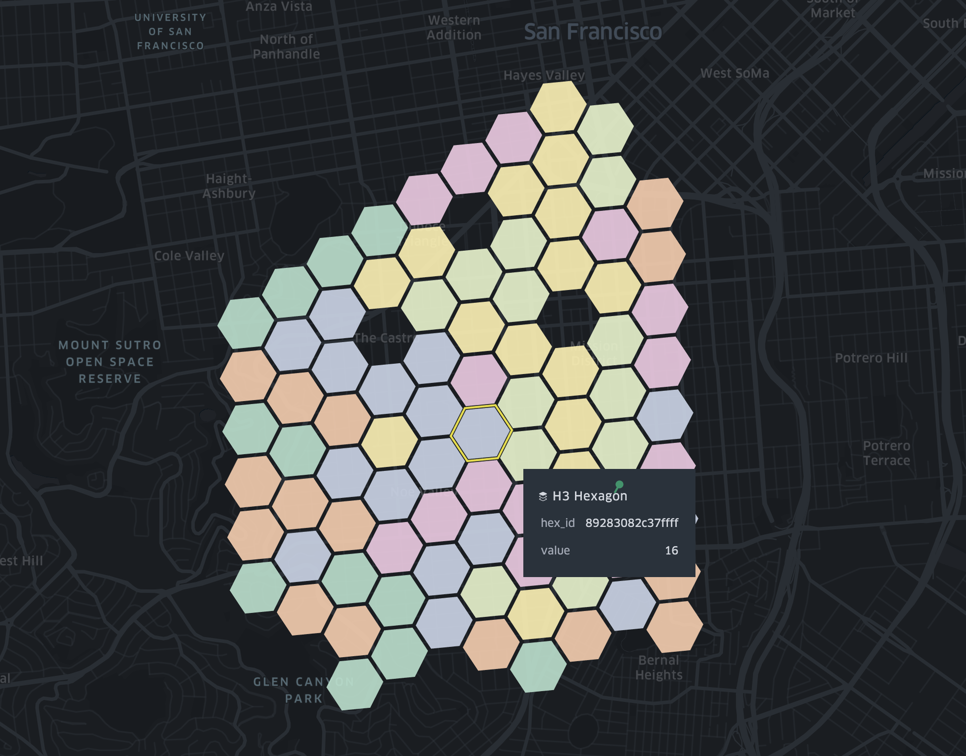
H3 layers visualize spatial data using H3 Hexagonal Hierarchical Spatial Index.
To use H3 layer, you need a hex_id in your dataset, which can be generated using h3-js from latitude, longitude and resolution.


